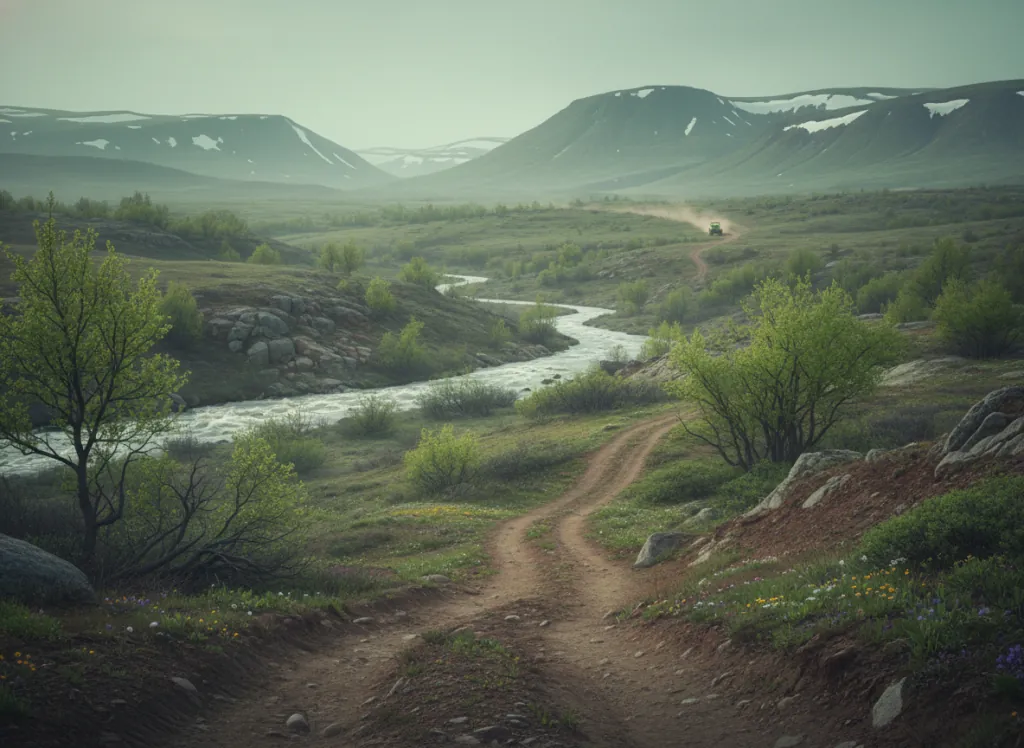
The Manti-La Sal National Forest encompasses 1.4 million acres of Utah's canyon-country mountains in two geographically separated units: the Manti unit's Wasatch Plateau in Carbon, Emery, Sevier, and Sanpete counties in central Utah, and the La Sal unit's La Sal Mountains rising above Moab in Grand and San Juan counties in southeastern Utah. The geographic separation creates two distinct riding destinations within a single forest administration, each with a distinct character that reflects its surrounding landscape. The Wasatch Plateau unit, the primary Manti unit centered on Price and Ferron, occupies the long north-south trending plateau above the Book Cliffs and the Castle Valley, reaching elevations of 11,000+ feet on the plateau rim that drops precipitously to the Colorado Plateau desert below. OHV routes on the Wasatch Plateau follow the rim-top terrain through the high-elevation spruce-fir and aspen forest, with the dramatic east-facing escarpment above the Castle Valley providing one of the most visually striking riding backdrops in Utah: the forest plateau above, the red rock canyon desert below, and the Book Cliffs in the distance across the Price River basin. The La Sal unit above Moab provides the second riding zone: the La Sal Mountains are an isolated laccolith range rising to 12,721 feet (Mount Peale) above the Colorado River canyon and Arches National Park's slickrock desert, producing a forest mountain island surrounded by desert canyon on all sides and providing high-altitude escape from the Moab summer heat for the massive OHV and 4x4 community that the Moab area attracts. Utah OHV registration required. Price Ranger District (435-637-2817) manages Wasatch Plateau OHV route status.
Hours
Accessible approximately May through October; higher Wasatch Plateau routes close under snow. No day-use fee. Utah OHV registration required.
Phone
435-637-2817Trip openings, seasonal updates, and the occasional deal, straight to your inbox.
FAQ
Everything you need to know before you get started.
Have a question, or ready to book? Reach out and we’ll get right back to you.